Tesla Admits Its Self-Driving Cars Need Their Own Maps
Tesla is developing internal mapping tools to fix speed limit and parking errors, a move that reverses years of executive claims that maps make driving software fragile.
By Ahmed Mansour ·
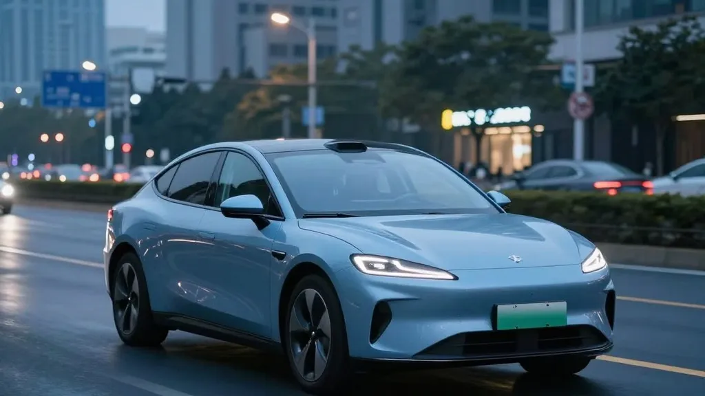
Tesla is building its own maps to improve the reliability of its Full Self-Driving system. The automaker announced this development during its third-quarter 2026 earnings call. Ashok Elluswamy, the company's vice president of AI, outlined the new project. He stated that Tesla should not rely on third-party data for critical driving functions. The goal is to create a dedicated mapping and navigation architecture. This system will use data collected from the entire vehicle fleet. It will also learn individual driver preferences over time.
The decision addresses specific weaknesses in the current software. Elluswamy identified speed limits, parking, and route selection as the primary issues. These are common complaints among users of the Full Self-Driving feature. The new map layer will begin with the start and end of trips in the upcoming version 15 software. Over the next several months, the system will take over broader navigation tasks. It will also handle destination processing and parking maneuvers. This phased approach allows the technology to integrate gradually into the driving experience.
This shift marks a significant change in Tesla’s public stance. For years, the company’s leadership argued that relying on maps made self-driving systems brittle. In 2019, Elon Musk described high-precision lane maps as a huge mistake during a company event. He called the reliance on such maps a really bad idea. At the time, Tesla emphasized that cameras and artificial intelligence were sufficient for driving anywhere. The message was that detailed maps were a crutch used by competitors. Now, Tesla is implementing a map layer to correct errors its vision system makes.
The new system is not identical to the high-definition maps Tesla previously criticized. Tesla has always used standard navigation maps for basic routing. The difference lies in the depth of environmental understanding. The new maps will help the car interpret its surroundings more accurately. This is crucial for tasks like reading road signs and understanding traffic rules. The technology will be fed by collective learning from millions of vehicles. Each car contributes to a shared understanding of the road network. This creates a continuously updated database of driving conditions.
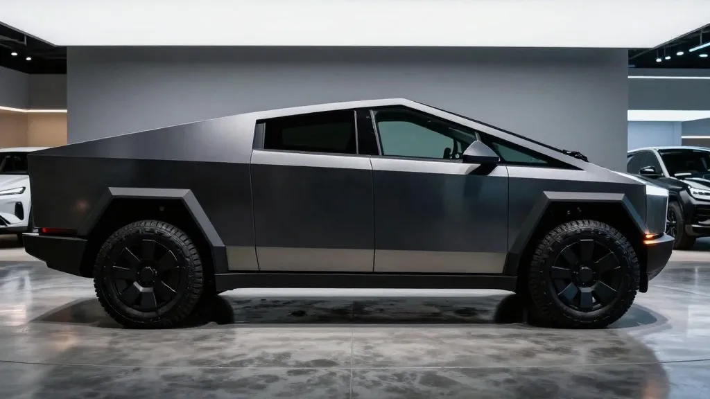
Current performance issues highlight the need for better data. Last month, a road safety group in Belgium tested the system in Brussels. They found that the cars exceeded speed limits in 55% of 30 km/h zones. The average speed recorded was 44 km/h. In many cases, the car’s display showed an incorrect limit of 50 km/h. In the United States, regulators are looking into similar claims about school zones. The National Highway Traffic Safety Administration is weighing an investigation into Tesla Robotaxis. The review covers approximately 1,000 Model Y and Cybercab vehicles. These incidents suggest that vision alone is not yet sufficient for precise speed compliance.
The approach brings Tesla closer to its main competitor, Waymo. Waymo maps cities by driving sensor-equipped vehicles through them before launching service. It keeps those maps updated as its fleet continues to operate. Tesla is now describing a similar process where fleet data builds the map. The primary hardware difference is that Waymo vehicles use lidar. Tesla relies on cameras and AI. However, the underlying concept of using fleet data to create a detailed environmental map is the same. This method allows the system to know what it cannot reliably figure out on its own.
Tesla’s Robotaxi service already operates within specific boundaries. The service runs in small, geofenced areas within cities. Tesla manages the fleet operations directly in these zones. While the company is not currently using centimeter-level high-definition maps, the new fleet-built maps could evolve in that direction. The technology starts with basic navigation and parking. As the data set grows, the maps will become more detailed. This incremental approach aligns with how the Robotaxi service is currently deployed. It provides a foundation for future expansions of the self-driving network.
The development has implications for the timeline of consumer self-driving. Tesla has previously targeted the second quarter of 2027 for unsupervised Full Self-Driving in customer cars. The need for robust mapping infrastructure adds complexity to that goal. The system must be reliable across different road conditions and signage. For now, the focus remains on fixing the most common errors. This includes ensuring the car respects posted speed limits and finds parking correctly. The new mapping system is a key step in making the software more consistent and predictable for drivers.
Source: Electrek